City Exhibition 3D Map
An interactive 3D city map built as a virtual exhibition — visitors navigate between locations, exhibits, and points of interest from a single page.
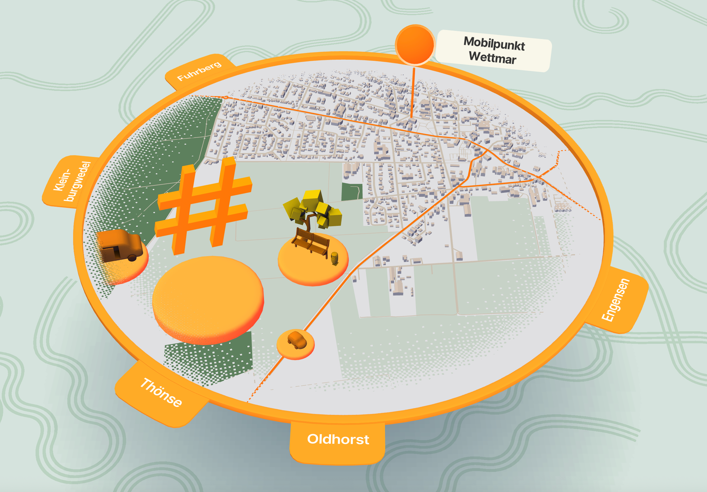
An interactive 3D city map built as a virtual exhibition. Visitors navigate between locations, exhibits, and points of interest from a single page — useful for telling a story that spans multiple physical sites.
Where this approach earns its place:
- Multi-site exhibitions, festivals, and cultural events that span a city or region
- Smart-city initiatives, urban planning consultations, public engagement campaigns
- Tourism and destination marketing where the story is geographic
Who benefits: city governments, cultural ministries, tourism boards, real estate developers running multi-property launches, event organizers needing a digital wayfinder that doubles as a marketing piece.
The map is the message. When the story is "all of this connects," a 3D map tells it better than any list ever will.
Want something like this for your team?
I join product and engineering teams for 4–12 weeks to ship interactive 3D experiences end-to-end. Independent contractor — no agency overhead.